
 Project genesis
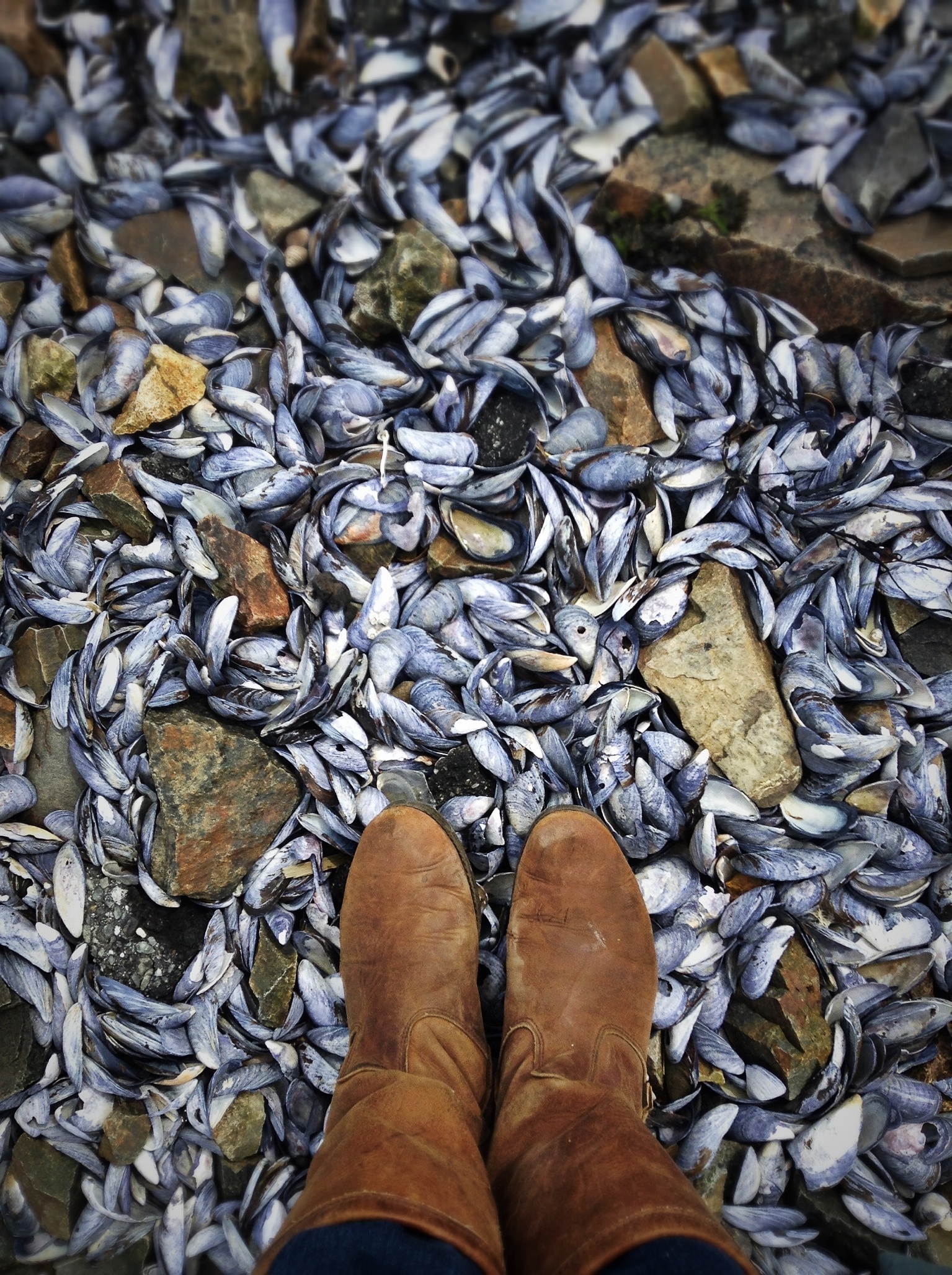
I’m fascinated by the life of the shoreline, and curious about everything I see, from the bedrock to the birds – from ‘what made the hole in this shell’ to ‘what are the old wooden posts just offshore?’ That curiosity has grown into a series of still life photos that I’ve been working on for 5 years, called “The Beachcombing Series,” in which I explore the overlapping forces and life forms that depend on the shoreline. My walks on the beach become a poetic transect of the littoral zone, and the items I pick up are points of intersection between myself and the life of the shore. The still lives plot those points of intersection, searching for a visual synthesis of all the layered forces at work. (There is a lot more detail about the still lives here, for those who are interested.)  The missing piece, though, is that I’ve been alone on the shore, trying to decipher these artifacts and patterns through Google and my network of friends. I often wished I had someone right there to pester with questions. And I know I’m not alone in my curiosity. Many, many people love the coast of Mount Desert Island, from the locals who have chosen to live here because the island has gotten into their souls to the millions of people who have visited Acadia National Park in the summer and spend their winters dreaming of coming back. All of us are wondering about the artifacts we stumble across, the creatures we observe, and how it all came to be. So I’m going to find out, and share everything I learn!

Project Description
I plan to walk the entire shoreline of Mount Desert Island, Maine, beachcombing as I go. (I walk on the tide line wherever possible and go slightly inland where necessary because of cliffs, rivers, or property access issues.)
I will invite people to walk with me (one person per day) – teachers, biologists, geologists, park rangers, tour guides, lobstermen, historians, boat builders, elver fishermen, clammers, property owners, anyone with a tie to the shore and a story to share – pooling our knowledge to describe the island’s shoreline. Inviting other people gives me new eyes on the coast, other perspectives, other knowledge.

There are two physical goals for this project:
1. I am producing one still life photo for each section of the walk (where possible – beachcombing was kind of tough in the winter), working with the ‘points of intersection’ I described above – the overlapping of natural processes, vegetation, animal life, and human activity, including my own. A show of the still life photographs at the end of the project will be a community party reuniting all the participants.
2. I share the knowledge and stories that are given to me in a blog post, and share in-progress photos on Facebook and Instagram. After completing the walking portion of the project, I plan to compile a book based on the blog posts and give a copy to each town library on the island, so the gathered stories can be freely shared. Publishing the book will be funded with a Kickstarter campaign.

Timeline
I began walking on Jan.1, 2015, and will walk from one to two miles a week for about two years. [May 1, 2018: It has been three years so far and I have only reached Northeast Harbor. Getting permission from property owners has proven extremely time-consuming, and this project will take years to complete.] As best I can calculate, the journey will cover roughly 120 miles, including Somes Sound. The point is not so much to cover a lot of ground quickly as it is to look closely at it.

See you on the shore!
